xxxxxxxxxxxxxxx

xxxxxxxxxxxxxxx
The green national parks--Mountains in there somewhere

Sunday, September 29, 2019

Snow


A surprise snowstorm came in the night making Mt. Olympus white and all the peaks around it.  Snow fell halfway down to Port Angeles.  Roads into the high country remain closed two days later.  They will eventually close for the winter, but nobody expected ten inches of snow in late September.   


A little town on Puget Sound 


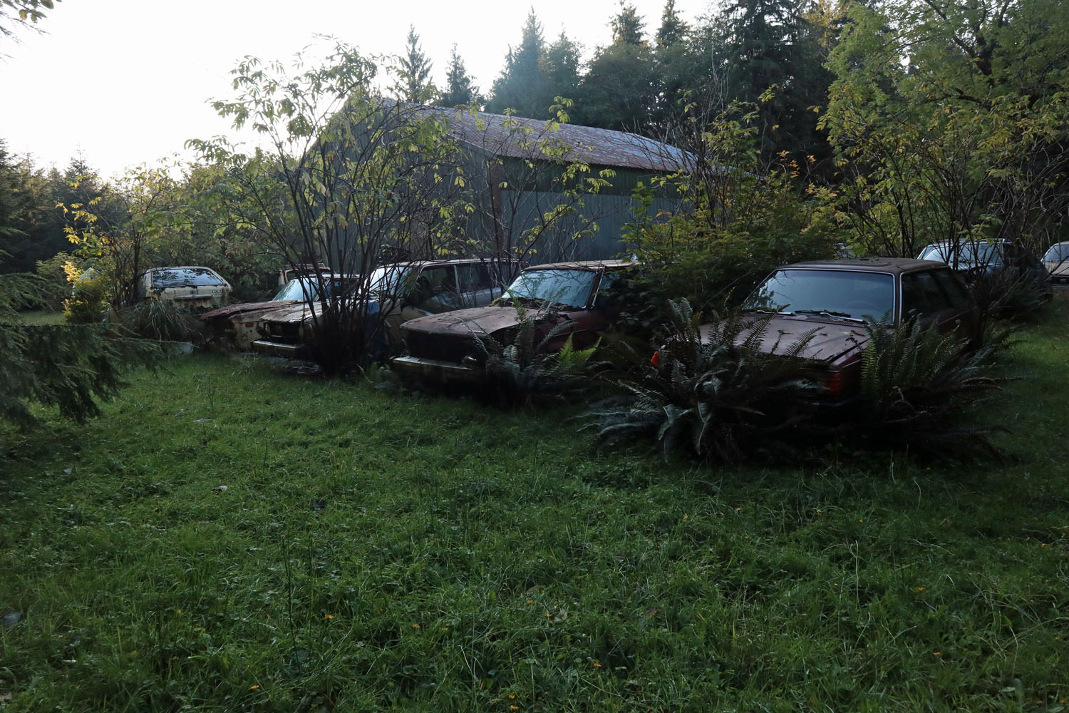
While waiting for snow to melt or be scraped off roads, I’ve wandered the low country, looking for hardwoods donning fall  fashion, whales spouting in Puget Sound, and country roads offering brief jaunts into the forest.


Cape Flattery is interesting as the upper left corner of the American dream.  It’s the most northwesterly point in the lower 48, and quite rugged to look at without falling in.


A little yellow tree shows off to the big green.  
Her time has come to shine.  


From the shore at Port Angeles, I’m looking up at unseasonably snowy mountains, beautifully unbelievable, given this long-planned and carefully executed trip to walk among them.  No snap judgement, just carry on a while.    


You can see part of the trail that led to this situation on a map prepared by Michael Angerman showing all of my nightly sleeping places.  From this you can trace my route.  Thank you, Michael.  Please click here:  Michael's Map

Saturday, September 28, 2019

Today in the Forest


Yesterday in the forest of Olympic National Park, I found myself again.   Transported to a vast quiet park.  A fairytale kingdom where no one else was.  


Small green plants that flying birds and businessmen miss within the lawn of forest below.  Significant as stars above for morning meanderers and creeping slugs among the trees.  


Familiar with both joys and sorrows
of solitude
the joys surpass them

when I was lonelier than alone
I missed the conversation going on around me
when merely alone, I don’t miss nearly as much.    


Trees so tall
straight and dense
I’m an ant crawling in grass
so many stems
only an occasional ray
suggests light
beyond this forest
the weakness and smallness
of humans


They told him to build a bridge
across a little creek
on a trail so little used
he’d likely get no comments

the artist had but one to please
a bridge of logs and planks would work
but would not join the grandeur of this place
so with thought of more than function
he pleased my eye today
not just my feet    


Lake Angeles
.


The bottom side of a turned-up tree

The roots of an old pine grasp the ground
as if to say “this is where I began,”
“this is where I’ll end.” –
Lois Jones     


“Climb the mountains and get their good tidings.  Nature's peace will flow into you as sunshine flows into trees.  The winds will blow their own freshness into you, and the storms their energy, while cares will drop away from you like the leaves of Autumn.”  John Muir

If John said that to me I’d follow him anywhere.  And I almost did.  


Click any picture to enlarge it.

Michael Angerman has prepared a map showing all of my nightly sleeping places, as he has done for my trips many times before.  From this you can trace my route.  He updates it almost daily.  Thank you, Michael.  Please click here:  Michael's Map


P.S.  That was yesterday.  This morning I set out again into the wilderness, but came to a closed road.  Contrary to the weather forecast, ten inches of snow fell in the night.  Here's a picture looking up at where I want to be


Wednesday, September 25, 2019

Riding the Rain


I have just bicycled around Mt. Olympus.  It took eight days, lots of rain and lots of steep hills, and I have tales to tell.  A typical section of road is shown in these two pictures, but usually not with such a fine misty view ahead.  Often the view is a passing logging truck or RV.  


Sometimes the road was rough and lonely, and once I got lost. It was a fatal kind of getting lost except that an angel appeared and rescued me.  Signs are not good on the Olympic Discovery Trail and sometimes the maps they provide are often wrong.  But somehow each day I made it to a bed. 


Miller House


Facilities are far apart, and some are classy.  But my favorite kind of café is Miller House in Elma where the waitress talks to me and the food is homey and good.  Local retired men talk to me too, wondering what drives me.  


Some places are funky for tourists.  Fat Smitty’s has about thirty thousand dollars hanging around, so they estimate.  It’s about time to take it all down, give it to charity and start again.  I recognize one of the dollars.  


I always start riding early, and out of Bremerton, sunrise over Puget Sound was a welcome sight after rain the entire previous day.  


On the final ride from Sequim to Port Angeles today, Olympic Discovery Trail was easy to follow and a great relief from traffic.


Michael Angerman has prepared a map showing all of my nightly sleeping places, as he has done for my trips many times before.  From this you can trace my route.  He updates it almost daily Thank you, Michael.  Please click here:  Michael's Map

Thursday, September 19, 2019

Rain Forest


It rains about 120 inches a year in the rainforest of northwest Washington, and five inches of it has fallen on my helmet so far on this loop around Mt. Olympus.  Trees thrive in this rainy place and grow to immense sizes, they say, though I can’t verify that, only having seen them from the road while cycling.  The undergrowth is much too dense to penetrate without a trail or machete-wielding guide.  I’ve been riding for three days and am one third of the way around the great mountain without seeing it; the forest is too dense or there are lower peaks in the way.  


I didn’t expect northwest Washington to be so primitive.  I’ve had almost no cell phone or internet until now.  If you get lost up here or make a wrong turn, or if the map you’re following is wrong, it can be fifty miles of hard pedaling just to find someone to ask.  And then you’re stuck with no way of getting to your destination before midnight.  


I was thankful for the friendly man at the Rain Forest Hostel who put me up for the night in a room with six beds.  And very thankful to find the I was the only one staying there that night.  


He’s much into Subarus and Bernie Sanders.  His long lecture made it clear that they are his obsessions.  He speaks coherently on things automotive and political, and on most of his passions I agree.  He has lives here for 34 years and preaches to everyone he meets—Bernie mostly, but also real democracy as he envisions it.  


Elk thrive up here with all the rain—not so much touring bicyclists.  The top picture is a herd of about twenty elk near the Rain Forest Hostel.  I could hear the headman, the buck, whistling for his harem to follow him away from the encroaching human as I took these shots.  


Michael Angerman has prepared a map showing all of my nightly sleeping places, as he has done for my trips many times before.  From this you can trace my route.  He updates it almost daily Thank you, Michael.  Please click here:  Michael's Map


Saturday, September 14, 2019

Drizly Day in the North Cascades


I always feel better about earthly problems when I go to a wilderness, someplace that’s nearly like it was before we all arrived, where granite rises from long ago and hardy species rise above the crowd.  North Cascades National Park, joining the Canada Border in north Washington is such a place, and yesterday I rose among its peaks.  


The trail climbed, as many do,  from habitable forests to delight and invigoration above where people normally go.  


These bent trees give their youths away.  Their home on a hillside fraught with deep winter snows is what made them strong.  As children, spring snows slid down their hill and bent their tender stems.  But come summer, undeterred by nature’s perversity, they straightened up and stood a little stronger, a little more prepared for next winter.  Their early years are bent and cannot be straightened, but the struggle made them strong.  Their adult tops, strong and vertical testify to perseverance.    


Ann Lake looks like a famous crater with an island in it, but its history is much different.  This little hard-rock island is no volcano in a volcanic collapse, as the other is, but a strong granite outcrop that glaciers could not grind away.  It’s in a cirque where a mass of hard water melted.  Here it is from high above and by its shore.  


And here’s the island Ann Lake contains, seen from different foregrounds.  There’s always foreground in what we see, even if the distant view is what we want.  


Misty breezes cover the peaks on this drizzly, overcast day.  My footing becomes slick and dangerous in places, but I take the mountain at its own pace, in whatever garb it wishes to present itself.  It helps me in taking people that way. 


Michael Angerman has prepared a map showing all of my nightly sleeping places, as he has done for my trips many times before.  From this you can trace my route.  He updates it almost daily Thank you, Michael.  Please click here:  Michael's Map

You can click on any picture to make it bigger, then press escape to return.

Wednesday, September 11, 2019

End of the Tunnel


I have driven three days from home, leaving cities and traffic in order to reach wide open Montana and Idaho.  My last long drive was to Fairbanks, Alaska, in mid-winter.  So much has happened since then that it feels a long time ago, a kind of tunnel that finally saw light. 


With speed limit 80mph, I made good time to the quaint and historic town of Wallace, Idaho.  After a day of cycling, I write to you about tunnels and trestles—trains and  places that stand as symbols for other things.  


Here is the entrance to the tunnel of my choosing.  It’s on the Hiawatha Bicycle Trail where trains used to rumble in 1903.  


Like the Gold Line in Pasadena, feelers reached up to an overhead wire, sucking energy.  


Once inside the mountain I saw nothing except by the light on my bicycle.  I shouted hello, but nobody answered.  Water dripped from the ceiling and trickled in ditches on both sides of former steel rails.  Can you see that small pinhole of light far off in the darkness?  Was it the end of the tunnel, or something else?  


I rode for a mile before realizing it was the end, in the way that hope sometimes precedes a thing hoped for.   


The railroad pushed through rugged mountains with about as much length in tunnels and trestles as in graded roadbed.  Now, instead of traveling in darkness with a mountain on top of me, I was flying over a canyons on a trestle.  


Like a bird, I swooped over the tops of trees and appreciated the great effort and ingenuity that built these high bridges in 1903.   


Where I not riding through tunnels or over trestles, the old railroad looks like a country road.  The difference is that it holds a steady two-percent grade no matter the terrain, where a country road is more like a roller coaster. 


Michael Angerman has prepared a map showing all of my nightly sleeping places, as he has done for my trips many times before.  From this you can trace my route.  He updates it almost daily Thank you, Michael.  Please click here:  Michael's Map